The San Clemente Times quoted Community Development Director Adam Atamian: "It is a substantial change to the areas covered within the City of San Clemente."
He was describing new state fire hazard maps to the San Clemente City Council on April 2, 2025. He wasn't talking about a new subdivision or a zoning fight. He was talking about the same canyon-backed hillsides that give San Clemente's pricier listings their ocean-and-ridge views. On March 24, 2025, the California Office of the State Fire Marshal issued redrawn Local Responsibility Area Fire Hazard Severity Zone maps for the city, and according to Atamian's own presentation, the areas now flagged as fire-prone are meaningfully larger than before.
For a buyer comparing San Clemente to Dana Point or Laguna Niguel on price per square foot, this is another factor to consider alongside the listing. It may surface in an insurance quote, a disclosure packet, or a lender's condition to close. And it's arriving at a moment when California's insurer of last resort is also mid-repricing: according to Latent Insure, a rate increase carriers filed in October 2025 took effect this spring. That's about two weeks from now.
What Actually Changed in March 2025
The state doesn't redraw these maps casually. Under Assembly Bill 211, once the Office of the State Fire Marshal issues recommended zones, the city has 120 days to adopt them by ordinance. Under California Government Code Section 51179(b)(3), San Clemente is legally barred from designating a lower hazard level than the state recommends, though it can designate a higher one based on local knowledge.
The 2025 maps were already running late. Atamian told the council the release had been delayed specifically so the state could fold in additional data after the January 2025 Los Angeles fires. When the maps finally landed, the city opened an extended public comment period through May 8, 2025, because the shift was large enough to warrant it. Some pockets of the city actually saw their Very High designation shrink. On balance, though, the footprint of fire-prone land inside city limits grew.
None of this is abstract to a buyer writing an offer today. If a parcel now sits inside the expanded Very High Fire Hazard Severity Zone, two things follow. First, according to Old Harbor, a seller has to provide documentation of a compliant defensible space inspection, a requirement that has applied statewide to High and Very High zones since July 1, 2021, but that now reaches homes it never touched before. Second, the parcel becomes part of the pool of San Clemente addresses where a standard admitted insurance policy is no longer a given.
Why the View and the Risk Share an Address
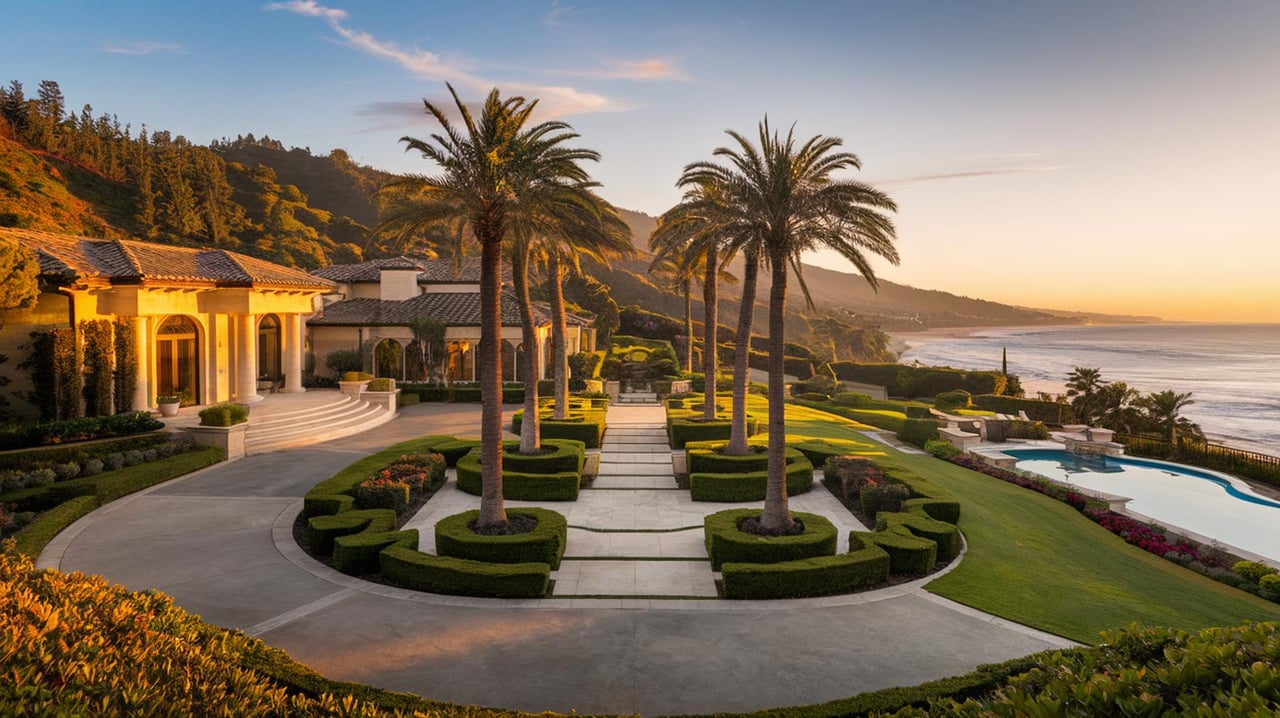
San Clemente's most photographed real estate sits where the coastline meets canyon terrain, a narrow shelf between the Pacific and the inland brush. That's not incidental. It's the same topography that produces unobstructed ocean views from a hillside lot and the same topography that produces steep slopes, dry vegetation corridors, and wind-driven fire exposure. A fire-severity map redraw doesn't touch flat, established interior tracts the way it touches the hillside parcels that carry a premium in the first place.
This is worth sitting with for a moment if you're weighing San Clemente against a neighboring coastal city. The instinct is to assume coastal means low fire risk and canyon means high fire risk, as if the two are geographically separate markets. In this stretch of South Orange County, they're often the same parcel described two different ways. The ocean view and the fire exposure are two aspects of the same property, not competing facts.
How Coverage Options Can Differ Before Escrow
Most buyers assume homeowners insurance is a single product with a single price that scales with home value. In practice, coverage in a fire-hazard zone runs down a ladder, and where a given address lands on that ladder can change the total cost of ownership by thousands of dollars a year.
| Tier | What it covers | When a property lands here |
|---|---|---|
| Admitted carrier | Full standard homeowners policy: fire, liability, water, theft, loss of use | Fire Hazard Severity Zone and brush score still fall inside the carrier's appetite |
| Surplus lines (E&S) | Similar breadth to admitted coverage, priced and underwritten | Admitted carriers have declined or non-renewed, but private capacity still exists |
| FAIR Plan plus DIC | The Quality Space guide says the FAIR Plan covers fire, smoke, and explosion only; a separate Difference in Conditions policy layers on liability, theft, and water damage | No admitted or surplus carrier will write the risk at all |
The California FAIR Plan was created by state statute in 1968 as an insurer of last resort. It isn't a government agency and it isn't taxpayer funded. It's an association every admitted insurer in California is required to help fund. Because it was never designed to be a primary long-term option, it only covers fire-related perils. According to Fire Ready Home, the FAIR Plan raised its residential dwelling limit from $1.5 million to $3 million for single-family homes in late 2024, a change that matters directly in a market where rebuild costs on custom coastal construction routinely land well north of $2 million.
A buyer who assumes their financing is settled once the appraisal comes in can still hit a wall during the insurance contingency, when a quote comes back at a tier they didn't expect and a price they didn't budget for.
The Paperwork That's New to More Addresses Now
For sellers, the defensible space disclosure requirement isn't new law. What's new is how many San Clemente parcels it applies to. A property that sat just outside the old Very High boundary and now sits inside the 2025 boundary carries an obligation its owner may not have had at the last sale. That means dated photographs of cleared brush, any geotechnical or structural reports on file, and records of vegetation and drainage maintenance are worth assembling before a home goes on the market, not after a buyer's lender asks for them.
Hillside risk in this part of the county rarely arrives as a single, tidy category. A short walk from some of the same neighborhoods now inside the redrawn fire zones, homes along Calle Vallarta have spent the past three years dealing with a slow-moving slope failure known locally as the Nelson Landslide, a separate peril entirely. The lesson isn't that San Clemente hillsides are uniquely troubled. It's that hillside geography anywhere on this coast tends to layer more than one excluded peril onto a single parcel, and each one requires its own conversation with an underwriter.
Why a Few Miles Down the Coast Doesn't Solve the Problem
It's tempting to read all of this and conclude the fix is simple: buy in Dana Point instead. Dana Point's canyon-adjacent terrain carries its own wildfire exposure despite sitting on the coast. Risk-modeling firm ClimateCheck rates a large majority of the city's building stock as carrying very high wildfire risk, a figure that runs counter to the assumption that ocean proximity alone keeps a property out of a fire model's higher tiers. The mechanism that reshaped San Clemente's map isn't a San Clemente-specific quirk. It's a feature of how canyon-backed coastal geography gets underwritten across this stretch of Orange County.
That doesn't make either city a poor choice. It does mean that comparing two coastal addresses on median price per square foot alone, without asking where each parcel actually sits on the fire severity map and what tier of coverage it currently carries, leaves out one of the more consequential numbers in the true cost of ownership.
A Few Questions Worth Asking Before You Write an Offer
Does a Very High Fire Hazard Severity Zone label automatically raise a home's insurance premium? Not automatically. Carriers layer their own brush scoring and portfolio risk on top of the state's zone designation, so two homes in the same zone can quote very differently depending on defensible space, roof material, and access.
What exactly does a seller have to hand over? Documentation of a compliant defensible space inspection for homes in a High or Very High zone, standard since July 1, 2021.
Is being on the FAIR Plan the same as being uninsurable? No. It means the standard and surplus markets declined the risk and the state's last-resort pool picked it up. The property is still insurable. The coverage is just narrower and typically requires a second DIC policy to round it out.
If you're weighing a San Clemente hillside against a comparable property somewhere else on this coast, the map is only the first document worth pulling. I can walk you through what a specific parcel's zone status and coverage history actually look like before you write an offer, not after. Reach out to Laura Ginn to start that conversation.
This article is general information, not legal, tax or financial advice. Consult a qualified professional about your situation.